by John Wolcott
. Looking southwest from Guilderland, Colonie, Albany, and Mt. Rafinesque, overlooking Lansingburgh, a long dark and clearly outlined, straight line of mountains are seen on the intermediate horizon. Beyond this on the further horizon, are seen, if at all, a hazy, greyish blue, outline of distinct separate humps of mountains. It is said that the nearer mountains are called the “Helderbergs” because they can be seen, relatively more clearly, from the above named places, and the word means “clear” or “bright” in Dutch.
The name “Helle” was also used, a long time ago, and means “bright or clear” in German and very early Dutch. Actually, the earliest name I’ve seen for anywhere in these mountains is “Hellen”. In both modern and very early Dutch, this word means “abrupt declivity” or “sudden downslope”. It’s on a mid 18th century map of Albany County, where it is written only on that section of the mountains between the Bozen Kill, and a little past the Swarte Kill.
This fits in with evidence from early Manor of Rensselaerwyck leases and Church registers, that the names “Helderbergh” and “Hellebergh”, and the lesser known, “Hellenbergh”, all originally referred only to the escarpment between Rte. 85 and Rte. 156 and the elevations above it.
South of this, another hill is often named. This was considered a separate “Bergh” or hill, as spelled out in a 1766 lease to Jacob Cooper (the Cooper Farm was located just north of New Salem between the New Salem-Altamont Road and the cliff); “ . . . All that parcel of land lying within the said Manor . . . under a hill called Helleberg . . .” As for the term, “Hellenbergh”: Might there not be a possibility that this was an early alternate name that referred to the cliff, and scree slope combined?
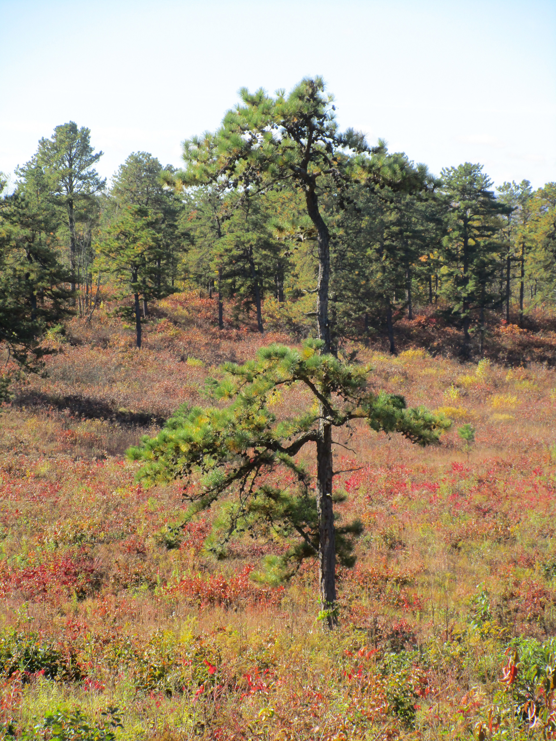
This cliff is the more noticeable than anything around when one gets closer. For that matter, the sudden dip in the silhouette of the hill at High Point, is also very noticeable, and marks the place where the colonial road to Schoharie (Routes 146 and 156) starts up to cross the mountains. Was “Hellenbergh” derived from this and applied to the whole hill and cliff? In any event, all of this seems to have been considered as one geographic feature by the Dutch and German Colonists of the area, and so it should be by the environmentalists, in the effort to create a public preserve here. The entire area of the Thomas parcel, which includes High Point and more going back to Old Stage Road, should be preserved.
The Helderbergh preservation effort needs be augmented by a grass roots citizen activist, and advocacy group, like Save the Pine Bush. A group that will seriously, and solidly oppose development. A group that will advocate the inclusion of more of the scree slopes and lower approaches to the escarpment in the Park, or other open space plans, and also will urge measures to preserve farmlands bordering it, with easements and farmland trusts. This with the logical addition of the entire Thomas parcel will do more for bird habitat, and rare rock features, and caves, and open space, than any mere change in designation, or managerial entity.
The Open Space Institute is selling 496 acre Heldebergh Preserve to the State with great fanfare on Earth Day for addition to Thatcher Park. (Please note, this land was already protected from development and accessible to birds and people, the only thing that is changing is ownership).
Too many of the beautiful woods and flower-strewn meadows between Carrick and Ketchum Roads, next to this “new ” addition to Thatcher Park have already been uglified in recent years by the irresponsible, mindless lemming march of destructive suburbia and exurbia. These uglified areas are not mentioned in the Governor’s misstated press releases about the addition to Thatcher Park. The press releases refer to a landscape newly “protected forever for everyone”, and which will newly “protect the park’s unique cliff and forest ecosystem. . .” And again; “We are securing habitat for resident and migratory birds, and wildlife. . .” . It was already secured by the Open Space Institute!
Some people have thought this “new” addition to have included the Jeff Thomas parcel which is under current threat of development. Well! it didn’t, and nothing is new. The Open Space institute had already preserved and was protecting this addition. The Jeff Thomas parcel, with High Point, adjoins this addition on it’s north side.
Why didn’t the State simply take the $750,000 they are paying the Open Space Institute (OSI) for their already preserved land and use it to buy the threatened Thomas parcel with it’s jewel of High Point? High Point — that magnificent northernmost anchoring bastion of the entire Helderbergh.
Purchase of High Point would have been a crowning achievement. It’s a mystery to me as to why the State didn’t buy from Thomas, when this land is so endangered.
It’s a mystery too, as to why the State failed to buy High Point from Mr. Bob Whipple, when the State originally planned to, around 1988, with money from the 1986 Environmental Bond. I have a copy of the “Proposed Park” acquisition map for this failed project. This project connected High Point and everything between the escarpment and the Guilderland Town line down to Thatcher Park. It also included an area projecting into the Town of Knox, to take in “The World’s End Sinkhole” and it’s interesting caves. The later OSI acquisition of this latter feature, was a high point for me. I was taken to High Point at the age of thirteen, with some other lucky kids, by that renowned naturalist, and arch conservationist A.T. Shorey. Here we learned, among many other things, about Indians, copperheads, bandits, solution caves, collapsed cavern roofs, depression contours, and Karst type geology. I’ve been going back ever since. After acquiring The Well At The World’s End, one of my favourite places, I’ve been hoping that High Point would be the next OSI acquisition.
It all belongs together. Between 1997, and 2002, The OSI did an incredibly wonderful job of protecting this area, plus more than twice as much as the State had earmarked around 1988. All through purchases, and easements. All except the Thomas parcel, but OSI is still negotiating with Jeff Thomas, and trying to buy all of his parcel for the rest of us, and the even for the rest of the world. I can speak, personally. to this aspect of the Helderbergh.
The Helderbergh Escarpment is known worldwide as the birthplace of paleontology, and a major place of origin of the science of geology. I was the outdoor activities planner for the Albany International Center, in it’s early years. Prime natural areas are always ideal for any country to show off to foreign visitors. During those years, I met some graduate geology students from places around the world. They couldn’t wait for the trips to Thatcher Park, or High Point. I didn’t have to tell them much about these places. They already knew more about the Helderbergh than I did, or than most people around here did. These foreign students already understood it’s global geological, paleontological, and history of science significance. Additionally, they appreciated and enjoyed the special scenic qualities of the Helderbergh, once they were able to visit the place, in person.